Thomas Papolis
I am a fifth-year geography student at the University of Toronto. I have studied urban development, environmental science, and spatial statistics. I have experience using geographic information systems (GIS) to describe and analyze spatial data. My past work can be found below.
Research
I am interested in urban networks, sustainability, spatial data, and environmental phenomena. I have used GIS to complete several research projects in these fields.
Authors: Thomas Papolis
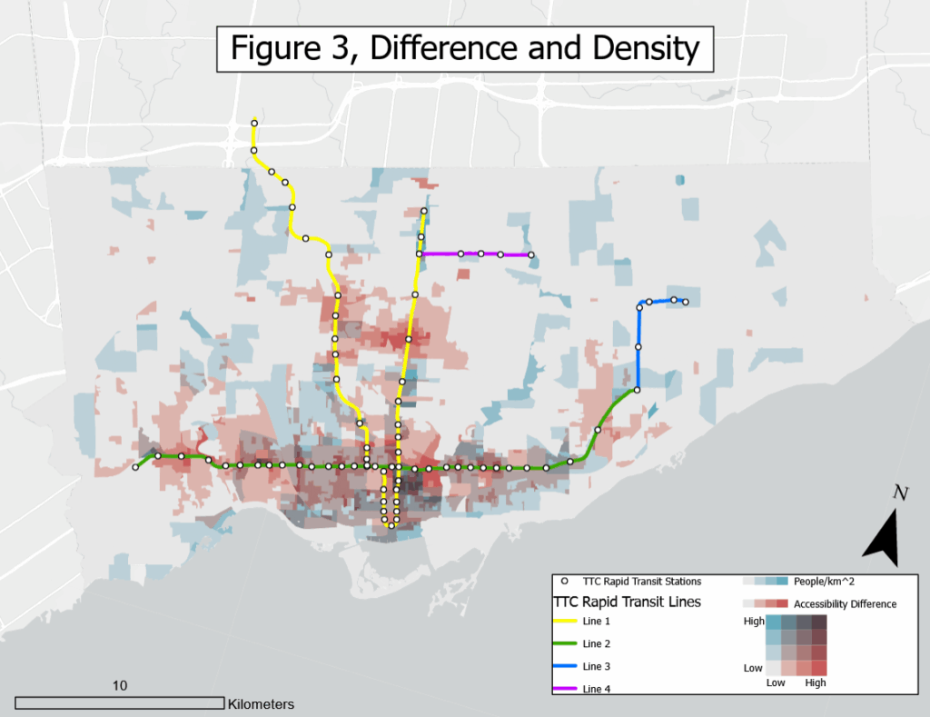
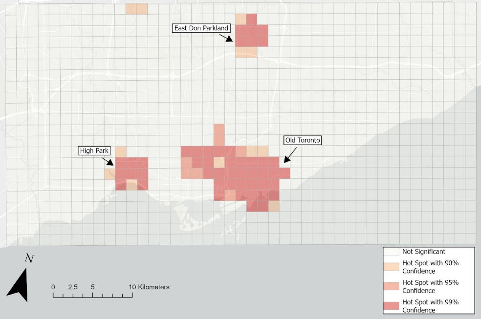
Where I investigate whether disabled people get less utility out of the TTC than the able-bodied.

Authors: Thomas Papolis, Victor Preda
Where we determine where in Toronto wild animals like to visit based on crowdsourced GIS data.

Authors: Dingliang Chen, Phung Tran Bao Luan, Thomas Papolis
Where we investigate the link between the suburbanization of poverty and public transit access in Toronto.

Using Image Classification Training Data to Automate Land Use Categorization
Authors: Thomas Papolis
A demonstration of how land use classification can be automated using image training data in ArcGIS Pro.

Using False Colour Imaging to Locate Environmental Phenomena
Authors: Thomas Papolis
A demonstration of how ArcGIS can be used to locate environmental phenomena based on their unique electromagnetic signature.

Maps
In addition to my research, I have used ArcGIS Pro to produce numerous maps which visually display spatial phenomena. These maps can be found below
__
Authors: Thomas Papolis
__

Work History
My employment hsitory can be found below
__
___
__
